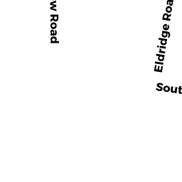
62 ELDRIDGE ROAD
Owner Information
ALLARD STEVEN & LENSCH LORRAINE
1273 MILLSTONE ROAD
BREWSTER, MA 02631


Property Details
62 ELDRIDGE ROAD is classified as a Single Family Residential (Cape).
The primary structure on this property was built in 2004. There are 2,880ft2 of built area within this property. There is 2,880ft2 of residential/living space within this property. This property is listed as having 7 rooms.
62 ELDRIDGE ROAD is valued at $719,800. The land is valued at $144,000 and the structures are valued at $575,800.
This property is in Zone RM. Confirm with local Zoning Board authorities to ensure there are no overlays or other easements on this property.
The most recent deed for 62 ELDRIDGE ROAD is recorded at the local registrar in Book 31062, Page 36. 62 ELDRIDGE ROAD was last sold on Thursday, February 1, 2018 for $1.
Assessment data from fiscal year 2022.
Flood Data
According to the FEMA National Flood Hazard Layer, this property does not appear to be in a flood zone. It may also be in an area not yet reviewed. Nonetheless, confirm this information prior to taking any action.
To view the flood hazards around this property, create a FEMA "Firmette" Map of the area around 62 ELDRIDGE ROAD.
Broadband Internet Providers
| Provider | Type | Bandwidth (mbps) | |
|---|---|---|---|
| Comcast | Cable | 1000 | 35 |
| Verizon New England Inc. | DSL | 1 | 0 |
| Viasat Inc | Satellite | 35 | 3 |
| HughesNet | Satellite | 25 | 3 |
| GCI Communication Corp. | Satellite | 0 | 0 |
| T-Mobile | Fixed Wireless | 25 | 3 |
| VSAT Systems, LLC. | Satellite | 2 | 1 |
Broadband service provider data from December 2020.
Adjacent Properties
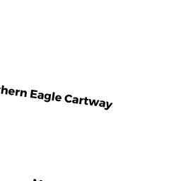
- 0 WESTERN EAGLE CARTWAY
Nurseries (Ch. 61A, not classified as Open Space) owned by ALLARD ROBERT W - 82 ELDRIDGE ROAD
Accessory Land with Improvement owned by ALLARD ROBERT WILLIAM TRUSTEE - 44 ELDRIDGE ROAD
Single Family Residential owned by DIEMER JOHN B & PATRICIA L TRUSTEES & - 63 WESTERN EAGLE CARTWAY
Single Family Residential owned by OZON ROBERT & ALLISON E - 66 WESTERN EAGLE CARTWAY
Single Family Residential owned by WONG KEC SEN